Introduction
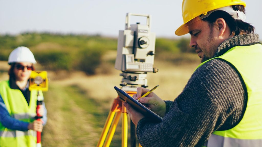
In recent years, drones have soared beyond their recreational and military origins to become indispensable tools in various industries, including land surveying. Traditionally, land surveying involved labor-intensive methods that were time-consuming, costly, and sometimes hazardous. However, drone technology has revolutionized this field, offering efficient, accurate, cost-effective solutions for mapping and surveying terrain. In this post, we’ll look at how drones are changing land surveying as a profession, streamlining workflows, and opening up new opportunities for field workers like California pipelines surveyors.
Precision Mapping with Aerial Imagery
Drones with high-resolution cameras have transformed mapping and surveying land. Drones allow surveyors to construct precise maps, 3D models, and topographic surveys of large areas in a fraction of the time needed by traditional methods because they can capture airborne imagery with extraordinary depth and precision. This aerial perspective provides valuable insights into terrain features, land use patterns, and environmental conditions, facilitating informed decision-making in various applications, from urban planning to natural resource management.
Rapid Data Collection and Analysis
Drones have several benefits for land surveying, but one of the biggest is their capacity to gather much data with little help from humans. Drones with sophisticated sensors like LiDAR (Light Detection and Ranging) and photogrammetry software can quickly and accurately create precise topographic maps, identify ground features, and record comprehensive elevation data. This accelerated data collection process reduces project timelines and enables surveyors to respond quickly to changing conditions and unforeseen challenges.
Enhanced Safety and Accessibility
Traditional land surveying methods often involve working in hazardous or inaccessible terrain, exposing surveyors to risks such as steep slopes, dense vegetation, or unstable ground conditions. Drones offer a safer alternative by eliminating the need for ground-based surveying in hazardous environments. With their ability to fly over rugged terrain and inaccessible areas, drones can collect data from remote or hard-to-reach locations without risking human lives. This enhanced safety factor protects surveyors and enables access to previously inaccessible areas for more comprehensive surveying and mapping.
Cost-Effective Solutions for Projects of All Sizes
The adoption of drone technology has democratized land surveying, making it accessible to a broader range of clients and projects. Drones provide an affordable alternative to traditional surveying techniques, which can call for costly labor, equipment, and logistical support for projects of all kinds. By streamlining workflows, reducing fieldwork time, and minimizing operational costs, drones enable surveying firms to deliver high-quality results at a fraction of the cost, making land surveying services more affordable and accessible to individuals, businesses, and government agencies.
Real-Time Monitoring and Decision Support
Drones are valuable for initial data collection and ongoing monitoring and analysis throughout the project lifecycle. With their real-time ability to capture aerial imagery and sensor data, drones provide up-to-date information on project progress, site conditions, and potential risks. This real-time monitoring capability allows project managers to make informed decisions, identify issues early, and implement corrective measures to ensure project success. Whether monitoring construction sites, assessing environmental changes, or managing infrastructure projects, drones offer invaluable decision-making and risk management support.


